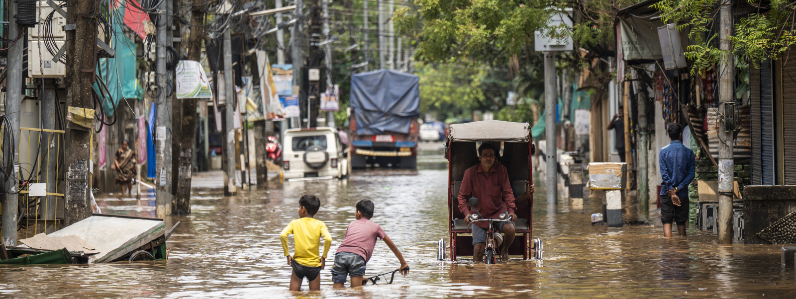
Satellite technology is helping researchers at the University of Strathclyde understand how climate change is forcing people to leave their homes – and how communities can build resilience before disasters strike.
The Decoding Climate Displacement project, developed by Strathclyde’s Applied Space Technology Lab in collaboration with the Satellite Applications Catapult and international partners, combines Earth observation data with community-level insights to map the links between environmental change, resilience, and human movement.
Climate impact
Global climate displacement refers to people being forced to move because of the impacts of climate change, including extreme weather, rising sea levels and the spread of desertification.
Through a new interactive Story Map collection, the team reveals how satellite data, including synthetic aperture radar (SAR), optical imaging and night-light data, can pinpoint where and when communities are most at risk of climate-driven displacement.
Dr Astrid Werkmeister, climate scientist and project lead at Strathclyde, said: “Extreme weather and rising temperatures are already displacing millions globally, but the data to understand why, where and how people move is often fragmented.
By connecting what we see from space with what’s happening on the ground, we can help decision-makers invest in preparedness and recovery, not just emergency response.
“Decoding climate displacement from space can help us move from reacting to crises to preventing them and give us the important perspective of people on the ground, which is hard to capture from space.
“Investing in resilience today means fewer people displaced tomorrow.”
Anticipate crises
Early case studies from Pakistan and other regions show how resilience in infrastructure, preparedness and adaptive capacity can be detected from orbit, helping policymakers and humanitarian organisations anticipate crises before they unfold.
According to statistics from the Internal Displacement Monitoring Centre, more than 376 million people around the world have been forcibly displaced by floods, windstorms, earthquakes or droughts since 2008, with a record 32.6million in 2022 alone.
The Institute for Economics and Peace predicts that in the worst-case scenario, 1.2billion people could be displaced by 2050 due to natural disasters and other ecological threats.
The project, which is funded by the UKRI Innovation Launchpad Network+, is now inviting partners from policy, research, humanitarian aid and technology to shape the next phase of the work and ensure it meets the needs of communities most affected by climate displacement.
The researcher added: “I would like to hear from people, that might have lived through a disaster, or know someone who has lived through it, as well as from social and relief aid workers, or those who organise relief aid.”
Building resilience
Dr Kedar Pandya, Executive Director for Strategy at the UKRI Engineering and Physical Sciences Research Council (EPSRC), said: “EPSRC is proud to support the Innovation Launchpad Network+, which enables researchers to collaborate with the Catapult Network to translate cutting-edge research into real-world impact.
“This project demonstrates how combining satellite data with local knowledge can deepen our understanding of how environmental change affects communities and human movement; insights that are vital for building resilience in a changing world.”