Images of Research: Progress through partnership
Charting change for rapid response
Category: Collaboration for impact

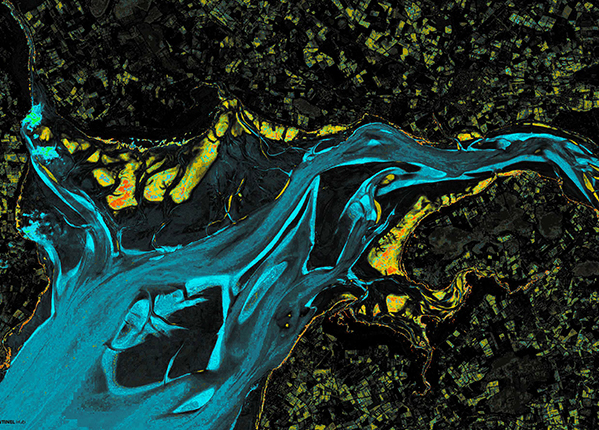
The world around us is in constant flux. Satellite images – such as those used to generate this image of shifting sands in the Solway Firth – reveal changes in the environment. We are developing tools to automatically detect and categorise landscape changes, such as after a natural disaster. Working with satellite manoeuvre and constellation experts, we aim to enable a more rapid and accurate emergency response that could ultimately save lives.
Entrant: Ruaridh Clark , Electronic And Electrical Engineering
Copyright: Ruaridh Clark
Collaborators: Malcolm Macdonald, Ciara McGrath
Links
Entrant profile: https://pureportal.strath.ac.uk/en/persons/ruaridh-clark